Since 1998 floods in Europe have caused some 700 deaths, the displacement of about half a million people and at least 25000 million Euro of insured economic losses. These losses reveal drastically the vulnerability of our society against extreme natural events. However, the question of occurrence of an event is closely related with the question of the risk, i.e. the consequences resulting from this event. With the increase in population and industrialisation, the settling areas and land use activities spread in floodplain areas seeming protected or hardly affected. Economic assets behind dykes and flood defence schemes accumulate more and more, hence they increase significantly the damage potential of extreme flood events. It is a matter of all parties involved to counter this development of flood risks. Research activities may contribute with knowledge to understand the processes and tools to improve risk management in practice. The research activities within CEDIM concerning flood risk contribute to this overall goal.
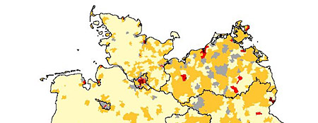
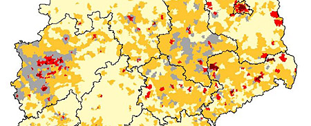
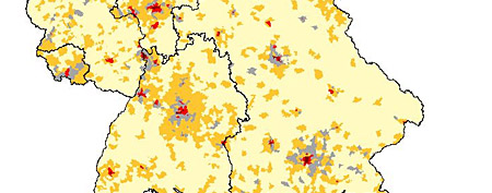
Within CEDIM, improved methods for flood hazard and vulnerability assessments as well as for flood risk mapping have been developed. Model development and implementation in software tools is undertaken in test areas. In hydrology and hydraulics, methods for hazard assessment have been substantially improved, specifically for extreme events. The regionalization of discharges in Baden-Wuerttemberg and the GIS-based flood information system for the river Neckar have been extended and validated for recurrence intervals above 100 years. For the micro-scale, i.e. building-specific, damage assessment a model was developed and implemented into the flood simulation tool for the river Neckar. Thus, a practical GIS-based tool for the flood damage assessment is available. Damage analysis studies have shown that the variability within damage data and thus the uncertainty of the damage estimation decreases the more damage influencing factors are taken into account. Therefore, the meso-scale multifactorial damage estimation model FLMEO has been developed. This model is applicable to whole Germany on the basis of land use data.
In the current project “Synopsis of natural risks in the Freestate of Saxony” this model will be applied to the official flood hazard maps. The aim is to quantify flood risks at several return periods in all Saxonian municipalities and to compare these estimates to risks due to windstorms and earthquakes.
Since the estimation of extreme discharges is of special interest in risk research, new statistical approaches are to be used to calculate upper bounds of flood discharge. On the basis of traditional as well as new process-oriented methods for the regionalization of flood discharges the flood hazard will be analysed for the whole Freestate of Saxony on a consistent basis. Together with the official flood hazard maps and the damage model FLEMO the flood risk is finally estimated for all Saxonian municipalities.


